

Une offre globale de solutions digitales au service de vos métiers
Nos témoignages clients
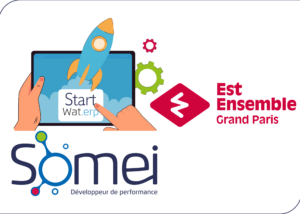
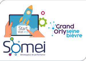
Actualités
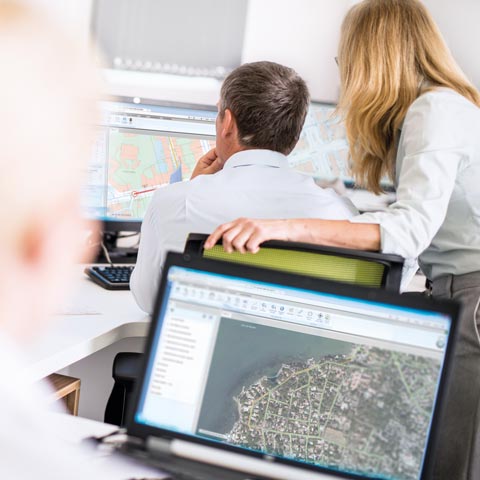
Des solutions innovantes au service des usagers et des exploitants


Somei en chiffres…
1,5 millions de contacts clients tracés chaque année par nos solutions
160 professionnels au service de ses clients
35 millions de factures produites en moyenne chaque année
+ de 7,5 millions de clients gérés par nos solutions
89,2% de satisfaction à l’issue de nos formations
Somei | Développeur de performance
Filiale de l’exploitant Société des Eaux de Marseille, Somei optimise, depuis plus de 40 ans, la qualité des services rendus aux usagers par les collectivités et développe la performance de ses clients.
Somei conçoit des solutions numériques de gestion multifluide (Eau – Assainissement – Energie – Déchets), pour améliorer les services des collectivités et des gestionnaires-exploitants.
Fort de ses partenariats avec les principaux leaders technologiques, Somei propose une gamme complète de logiciels interconnectés pour répondre aux nouveaux enjeux environnementaux et sociétaux.
Véritables leviers pour votre développement, nos solutions répondent à vos besoins actuels et futurs !